Shopping for a waterfront home on Isle of Hope? The water you see is not always the access you get. On Savannah’s coast, different waterfront types affect how you boat, what you can build, your maintenance costs, and long-term risk. In this guide, you’ll learn the main access types, key permits, and smart due diligence steps so you can buy or sell with confidence. Let’s dive in.
Waterfront access types
Direct deep-water frontage
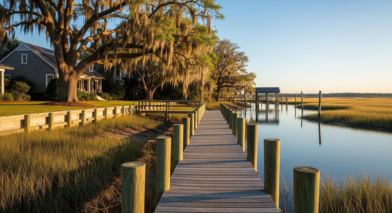
If your property sits on a navigable tidal channel or river, you may have deep water at mean high tide and a private dock with pilings or slips. This setup offers direct navigation to open water and strong appeal for boaters. Expect more complex permitting for new or modified docks, and more exposure to wakes and storm surge.
Shallow tidal or marsh-front
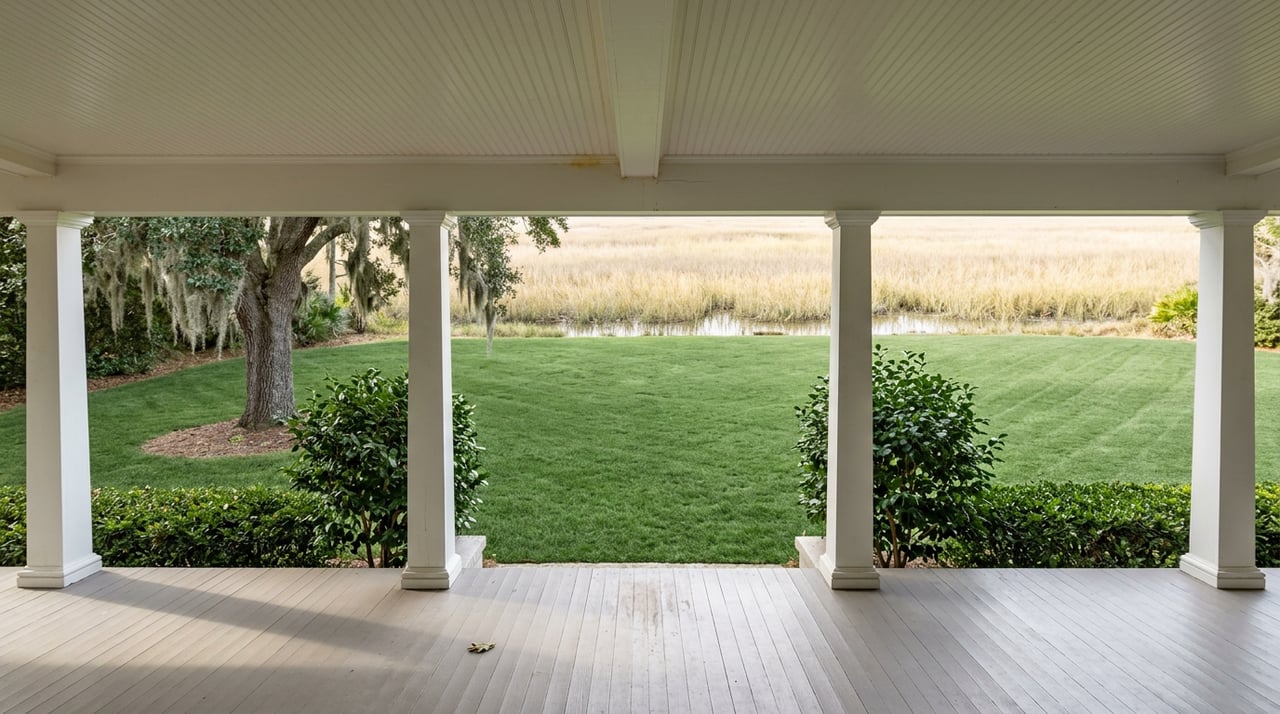
Marsh-front properties border salt marsh rather than an open channel. You enjoy wide views, wildlife, and changing tidal scenes. Boat access is limited without dredging, and there are strong conservation rules around marsh protection and vegetation.
Tidal creek frontage
A home on a small tidal creek or slough can offer private dock potential, but depths and navigation vary with the tide. These channels suit kayaks and small boats. Larger craft may face depth limits and may not be feasible without repeated maintenance or dredging.
Shared or HOA water access
Some neighborhoods provide a community dock, marina, or right-of-way to the water. You benefit from shared maintenance and lower individual costs. Review HOA rules, slip allocation, waiting lists, and how expenses are split before you buy.
Deeded access via easement
A home may include a recorded private easement to a community dock or small landing. The easement language in the deed or plat defines exactly how you can use the access, how maintenance works, and whether it transfers to future owners. Always confirm the document and terms during due diligence.
Near public access, no frontage
Listings may highlight a short walk or drive to a county or city boat ramp, park, or pier. You gain recreational access, but you do not have riparian rights or a private dock. Your use depends on public facility hours, parking, and demand.
Riparian rights status
Not every waterfront-adjacent parcel holds riparian rights. These rights, often referenced in your deed or plat, affect your ability to access and use adjacent water and to build structures like docks. Verify rights early to avoid surprises.
Permits and rules to know
Key agencies
In Georgia, multiple authorities have a say in waterfront work. The Georgia Department of Natural Resources Coastal Resources Division oversees tidal marshlands and coastal permits. The U.S. Army Corps of Engineers Savannah District regulates work below mean high water and dredging. Chatham County and the City of Savannah handle local building permits, zoning, floodplain rules, and septic or sewer. FEMA maps determine flood zones and elevation standards, while NOAA and USGS data inform tidal and shoreline planning.
Typical permit triggers
Many coastal projects require permits. Docks, piers, and pilings often need state coastal permits and federal authorization. Seawalls and bulkheads require review for impacts on marsh and sediment transport. Dredging usually needs both state and federal approval. Vegetation removal, grading near marsh, and new structures below mean high water are regulated and may not be allowed without mitigation.
Tidelands and public trust
Tidal lands and submerged lands are subject to state interest and the public trust. Upland owners’ rights are limited by state law and permitting. You should confirm the upland boundary relative to the mean high-water line and verify that your parcel holds riparian rights.
Historic overlays
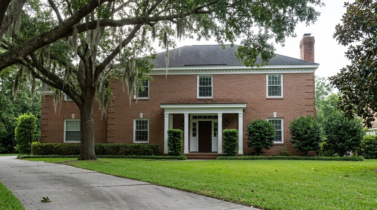
Isle of Hope includes historically significant areas that may fall under local historic-district or overlay rules. These can affect visible shoreline work, setbacks, and home modifications. Consult local historic-preservation staff early in your planning.
Physical and insurance factors
Flood zones and insurance
Waterfront homes often lie in FEMA flood zones such as AE, VE, or AO. Your zone determines base flood elevation and whether a lender will require flood insurance. Ask for an elevation certificate if available and secure a conditional flood insurance quote before you commit.
Sea-level rise and tidal flooding
The Georgia coast is experiencing measurable sea-level rise and more frequent nuisance tidal flooding. Over time, this can influence shoreline position, marsh migration, and design requirements for improvements. Expect potential pressure on insurance costs and elevation needs for new structures.
Erosion and wave exposure
Homes facing open water or main channels see stronger wind and wave energy. Boat wakes can add to erosion and put more stress on docks and bulkheads. Site exposure should guide your choices on shoreline stabilization and dock design.
Shoreline stabilization choices
Traditional bulkheads and seawalls can limit erosion but may alter habitat and sediment flow. Living shorelines that use native plants, oyster features, or sills are increasingly encouraged as lower-impact options. Both approaches need permits, and materials have different lifespans and maintenance demands.
Dock and marine safety
Before you buy, have a marine contractor or engineer inspect piles, fasteners, decking, electrical, and mooring systems. Ask about any history of dredging, and who paid for it. Maintenance for docks and channels typically falls on the owner unless otherwise specified.
Market impacts for buyers and sellers
Value and appeal
Deep-water frontage with a private dock often carries a premium for boaters. Marsh-front homes attract buyers who prioritize views and wildlife, though boating utility may be limited. Shared access can lower maintenance costs but is generally valued less than exclusive deep-water frontage.
Financing and appraisals
Lenders review flood risk and may require flood insurance. Appraisers consider the real utility of the access, including depth, dock ownership, and navigability. A “water view” alone does not carry the same weight as usable access.
Due diligence checklist
Use this list to protect your interests:
- Request recorded plat and deed, and confirm riparian rights and any easements.
- Order a recent boundary survey showing the mean high-water line and encroachments.
- Check local permit history and floodplain status with Chatham County or the City of Savannah.
- Hire a marine contractor or engineer to inspect docks, bulkheads, and pilings.
- Secure a conditional flood insurance quote and an elevation certificate if available.
- Ask the seller for dredging, maintenance, and emergency repair records.
- Confirm navigation and depth for your intended boat, and get a sounding if needed.
- If you plan work, consult the Coastal Resources Division and the U.S. Army Corps early.
Seller prep and disclosures
Sellers build trust by sharing permit documents for docks and shoreline work, recent inspection reports, and elevation certificates. Disclose known shoreline repairs, dredging history, and any easements or restrictions. Clarity reduces deal risk and can support stronger offers.
Compare properties quickly
Use these quick filters when you tour or review listings:
- Access type: deep water, tidal creek, marsh-front, shared, or deeded easement.
- Rights: confirm riparian rights and any HOA or easement terms.
- Depth and exposure: typical depth at mean low and high tide, wakes, and storm exposure.
- Structures: dock age and condition, bulkhead type, and maintenance history.
- Risk and cost: flood zone, elevation certificate, and insurance estimate.
- Projects: likelihood of permits for dock changes or shoreline stabilization.
Next steps and local resources
If you are serious about an Isle of Hope waterfront home, line up your documents early. Gather the recorded plat and deed, and schedule a boundary survey that shows the mean high-water line. Contact local permitting offices for floodplain details and confirm any past dock or shoreline permits in the file. If you plan improvements, speak with the Coastal Resources Division and the U.S. Army Corps of Engineers to understand timelines and likely conditions.
Ready to size up value and position your home for a top-tier sale, or zero in on the right access type for your lifestyle? Reach out to The Oliver Group for local guidance and a tailored plan that fits Isle of Hope’s unique waterfront market.
The Oliver Group — Get a Home Valuation.
FAQs
What are the main waterfront access types on Isle of Hope?
- Deep-water frontage, tidal creek frontage, marsh-front, shared or HOA access, deeded easements, and homes near public access without riparian rights.
How do permits work for docks and bulkheads in Savannah?
- Docks and bulkheads typically require state coastal permits and often federal authorization, plus local building and floodplain approvals.
How does flood zoning affect Isle of Hope waterfront purchases?
- FEMA zones such as AE or VE influence insurance requirements and elevation standards, so obtain an elevation certificate and a conditional quote before closing.
Are marsh-front homes good for boating access?
- Marsh-front parcels prioritize views and habitat but usually have limited boat access without dredging, and they face strong conservation constraints.
What should I verify before making an offer on a waterfront home?
- Confirm riparian rights, easements, permit history, flood zone and elevation, dock and bulkhead condition, navigation depth, and maintenance or dredging records.